|
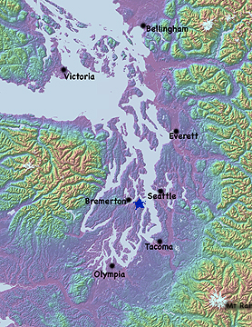
This is the Puget Sound!
|
|
|
|
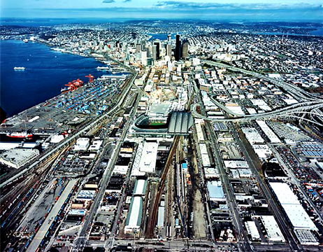
| Home to many cities (Seattle for example), over 7 million people and our forest (look for the blue start between Bremerton and Seattle on the map). |
|
|
|
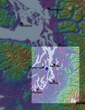
| We will be looking closer at the area highlighted on the map on the right. |
|
|
|
|
|
|
|
|
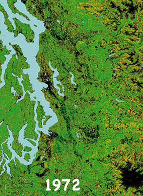
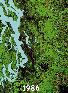
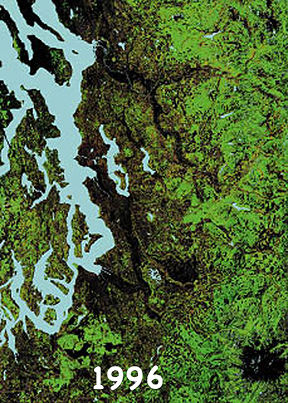
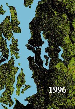
| These are satalite images of forest cover from 1972, 1986 and 1996. The blacker the area the fewer the trees. If you know the area you will also notice Mount Rainer's glaciers showing up in the bottom right. A bit north of Rainer is a checker bord of clear cuts. |
|
|
|
|
|
|
|
|
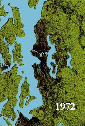
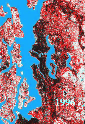
| This is another pair of treecover images. I've overlayed them (and with a little photo trickyness) so that the right hand pannel shows progressive treecover loss. Those areas that are black were lost by 1972 and are still gone, those areas that are red were lost in the 24 years between 1972 and 1996. White areas are where there still is tree cover. Yes the growth is shocking... what dose it look like now? |
|
|
|
| To see an IR satalite study of impervious surface and land use of the Puget Sound from 2002, "click" here. |
|