Forest Info
Comparing Area
Satellite Image
Forest Cover 72-96
Paved Surfaces 2002
Local Watersheds
Salmon Runs
Wetland Buffers
USGS Wetlands
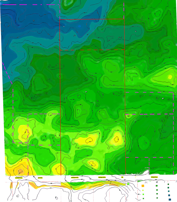
Forest Topo Map
Plant List "A" to "K"
Plant List "L" to "Z"
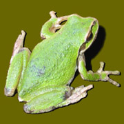
Wildlife Photos
Homesteading
Future Plans
Wish List
Unofficial Lab Site
Dart Frogs and More
Tor Linbo 12/06
tlinbo@u.washington.edu
Winter Creek
Topo Map of Our Forest and the Surounding Area
Original Topo maps from Kitsap County