 |
Kris Haskins Staff Webpage |
Mount Daniel |
| July 2007 |
Trip Report by Evan
Kris Haskins, Margie Elm, and I, wanting to climb Mount Daniel, set out on Friday afternoon with the intention of traversing across Mounts Hinman and Daniel from West to East. Due to my poor planning concerning both driving directions and climbability, we settled on a more reasonable ascent of Mount Daniel alone, which turned out to be a great trip.
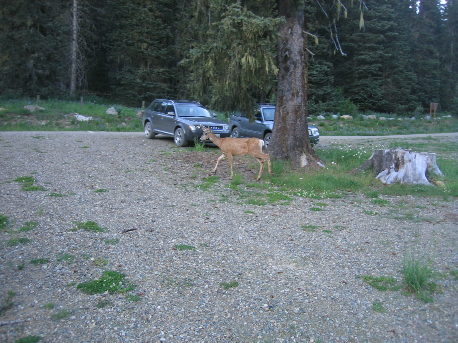
The adventure began before we were even out of our cars, as we had to drive down a long dirt road to get to the trailhead. Ignoring the "4 wheel drive vehicles only beyond this point" sign, we were temporarily stopped by water rushing across the road. Kris, voluntering to wade into the rushing water to find out how deep it was, determined that it would likely reach to the bottom of our car doors. The crossing was less difficult than the deciding to do so, and in short order we were at the trailhead, where mosquitos tried to eat us and a deer tried to eat our pizza, the former with great success and the latter with none.
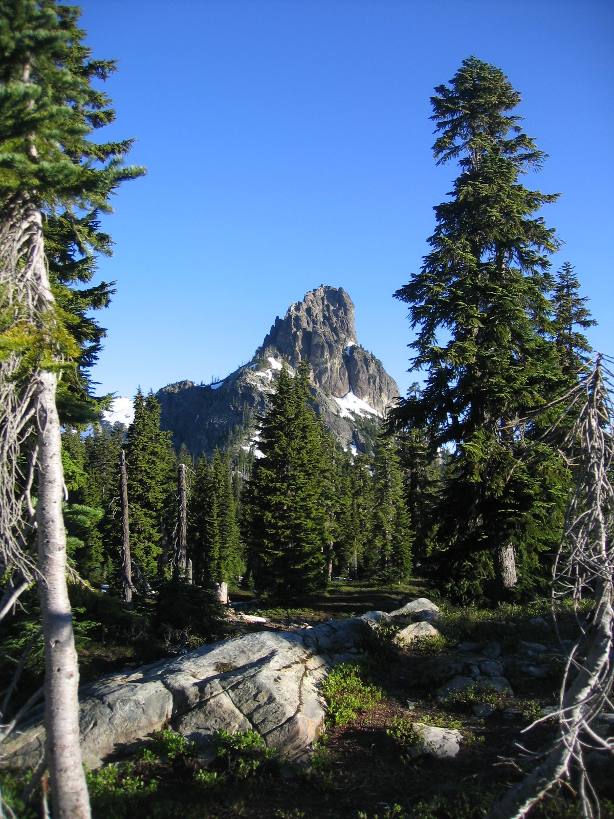
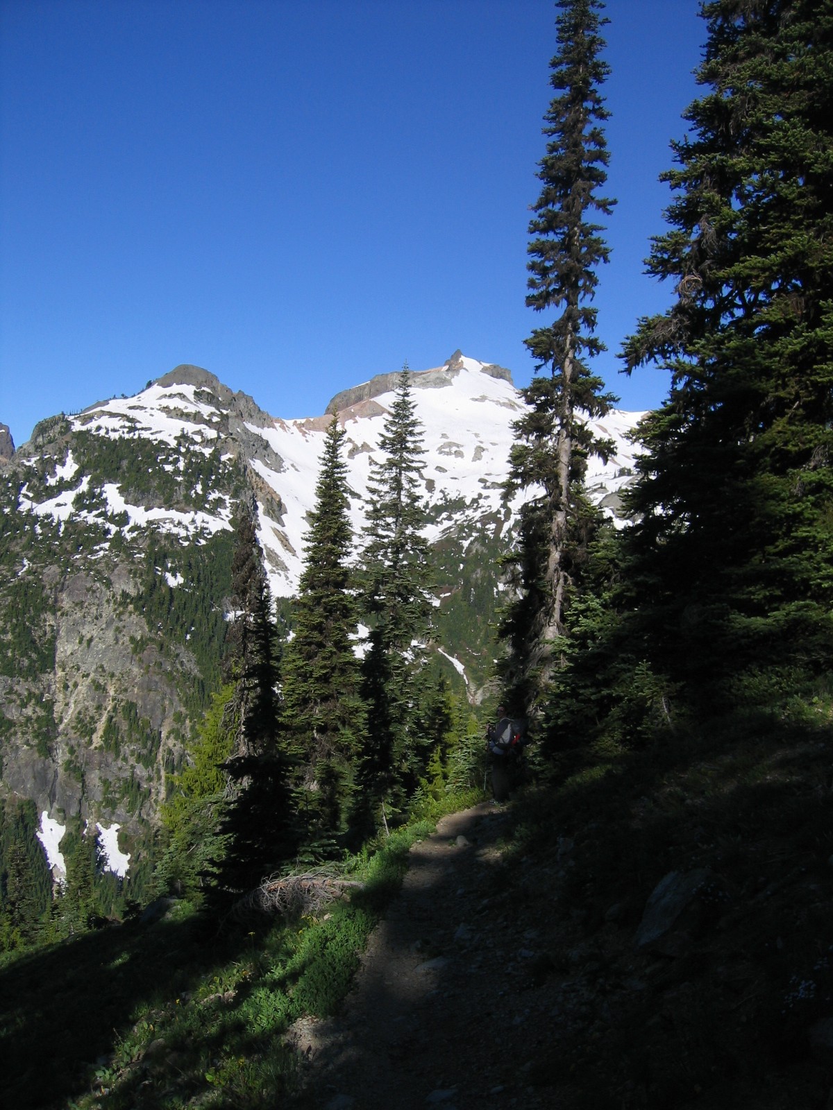
Shouldering our heavy packs we began hiking up Cathedral Rock Trail 1345 as darkness quickly closed in. The trail was simple enough and brought us after a couple hours to the ridge below prominent Cathedral Rock, where we located a nice spot for our tent and quickly set up camp. Filtering water from the nearby pond, we enjoyed our dinner of more pizza, and stargazed from newly christened "SAB" rock.
Arising around 6:30 we packed up, determing that we should set our basecamp closer to the peak itself, which we had a view of, but were still some distance from. We continued hiking, merging shortly with the Pacific Crest Trail, which led us along a crumbly ridge to the West of Cathedral Rock, and down into Peggy's Pond Basin, off the East side of Mount Daniel. Here we encountered the Hyass Creek, mostly covered in snow, and a beautiful spot for our base camp.
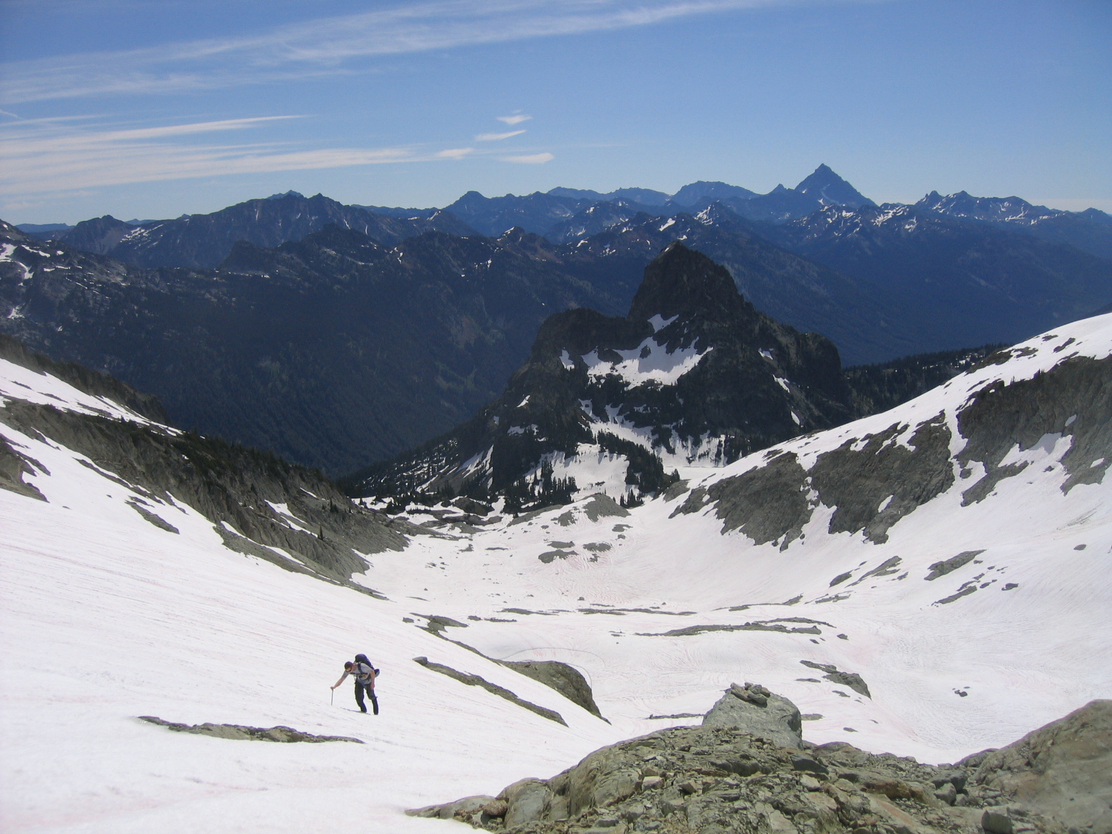
Departing slightly later than we wanted, around 9 we began our climb, the terminus of which we could both see, and felt confident we could reach in only a few hours. With about 2700 feet of elevation gain (the approach to the base of Daniel was roughly the same vertical gain), we decided to take a direct route up the center of the Hyass Creek Glacier to the variation along the East edge of the Daniel Glacier.
Beginning our ascent, I spotted a team of three just below the summit ridge, a team of three descending from the Southwest Ridge, a route Margie had previously climbed, and a team of two making very slow progress traversing along the Southern Side of the Hyass Creek Glacier cirque, just below the Southeast Ridge. Taking a direct route, we quickly gained the North edge of the cirque and made an ascending traverse up a steep pitch to the base of the East Summit, one of Daniel's five summit peaks.
At this point, following in the path of a team of three two pitches ahead of us, we decided to crampon up, but felt that, as the climbing was neither technical nor glaciated (while we were climbing on both the Hyass Creek and Daniel Glaciers, they are at this point merely permanent snowfields, with virtually no cravasse potential), that roping up was unecessary.
We slowly made the traverse below the spire, which provided the only shade of the day, a fact I would later come to seriously lament.
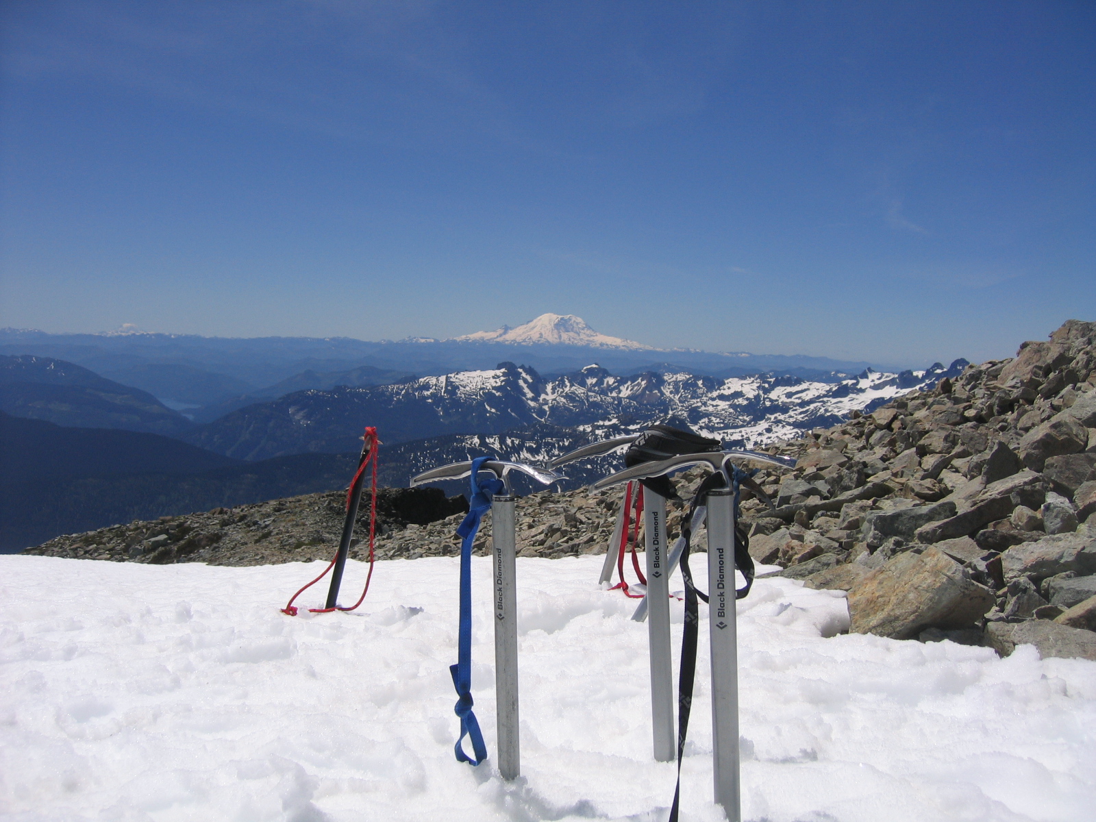
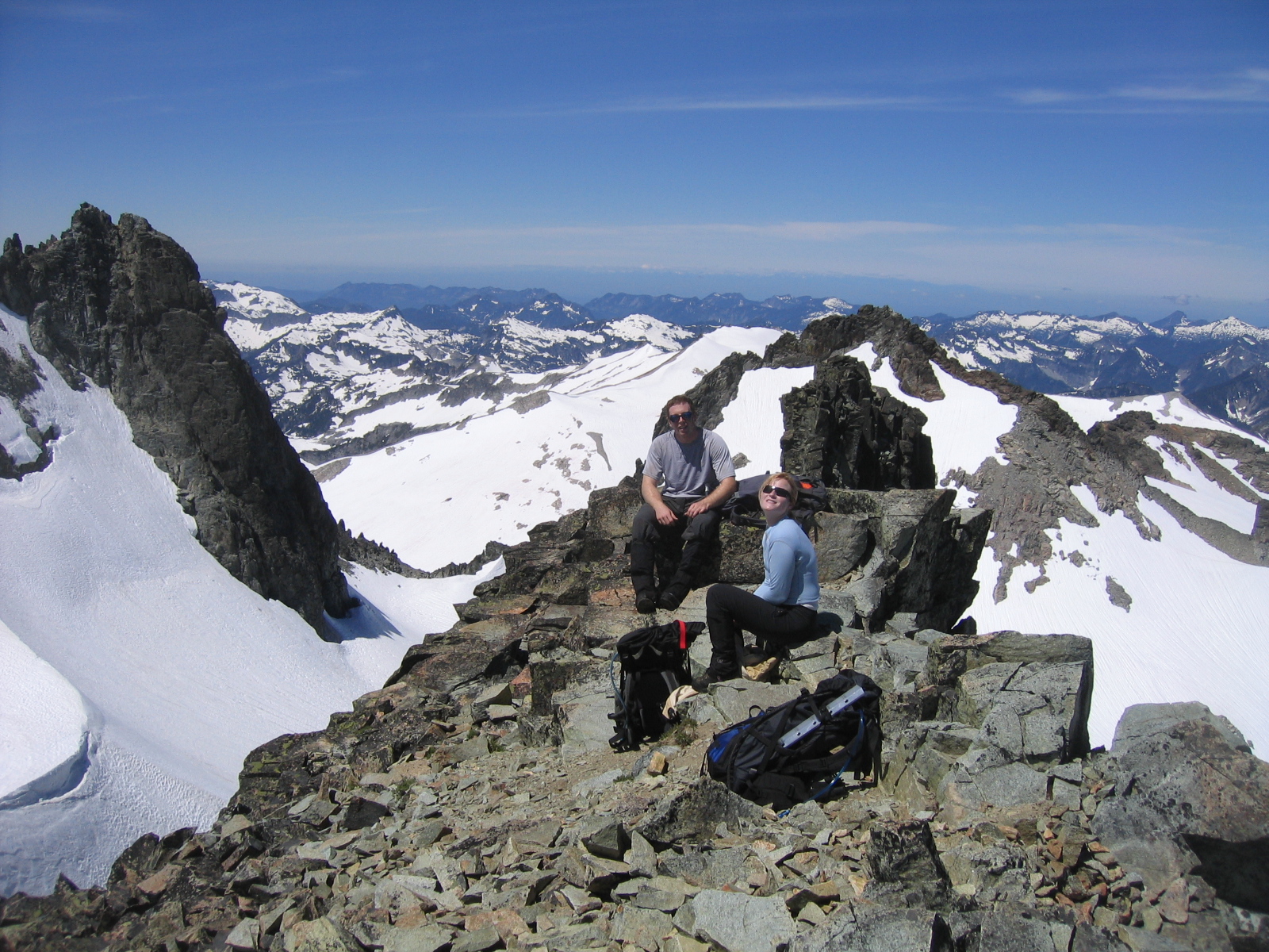
Probably the only pitch that presented any difficulty throughout the climb, we made careful progress and eventually gained the final ridge below what we thought, at the time, was the true summit. Overtaking the team of three whose path we had been following, we learned they were from Whidby Island and thanked them for breaking trail. Opting again for the direct route, Margie led us up steep snow to a small talus field below what turned out to be the Middle Summit, accompanied closely by a very climbable looking smokestack. Here we lunched briefly and enjoyed the views before downclimbing the talus and making the short traverse to the West Summit, at 7,960 feet, where we scrambled up a small exposed rock ledge to the true summit, where we found and signed a Mountaineers summit register with our names, date, and battle cry, "Wah-Woo-Wee-Wah." From the summit we enjoyed spectacular views of six of the seven highest peaks in the state, Mount Rainier, Mount Adams, Little Tahoma, Mount Baker, Glacier Peak, and the closest, Mount Stuart, respectively. With the cloudless sky, we could even make out the Olympic range, as well as many more beautiful and closer vistas.
As it was only around 12:30, we decided that, since we would not be making the Daniel-Hinman traverse, we might as well descend and hike out, cutting our trip down by a day. Opting for the quicker descent, we began glissading, which Kris did in only his long underwear, which his crotch surely enjoyed. Upon reaching camp, we replenished our water supply, packed up, and began the hike back up to the Cathedral Rock ridge. Here we encountered the first of many climbers and hikers making their way up the trail, which we quickly descended, arriving at the car sometime in the late afternoon. We tiredly stowed our gear and drove to Cle Elum, where we had dinner and discovered that I had received an epic sunburn on my entire face. Apparently I was using pretend sunburn all day, which I applied no less than 5 times. Note to self: buy, bring sun hat and real sunblock on next trip.
Sunburn aside, the trip was a resounding success, and we all had an awesome time, enjoying the wealth of laughter, friendship, and good climbing.
This deer was after our pizza
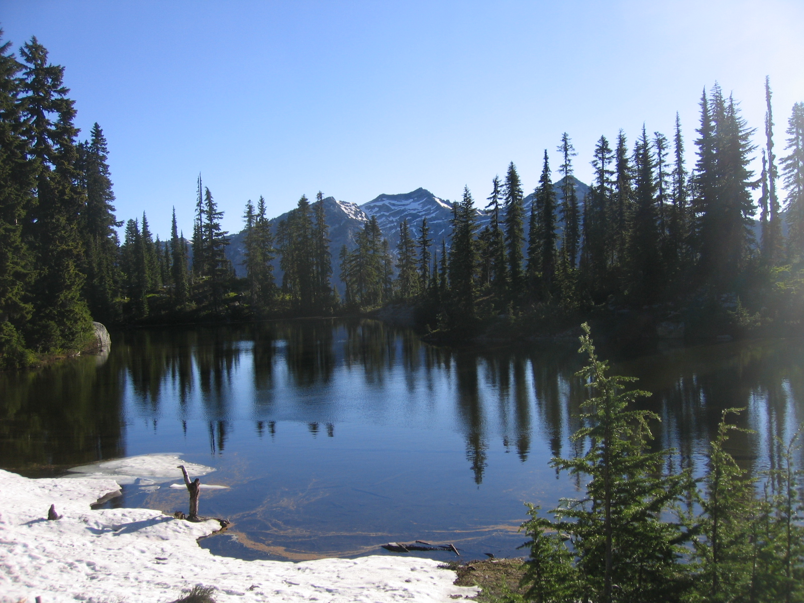
Morning shot from our campsite
Scenic Pond
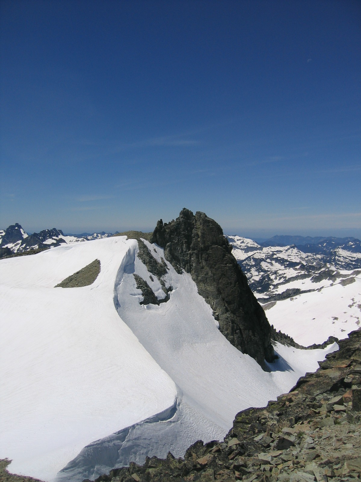
Traverse around Cathedral
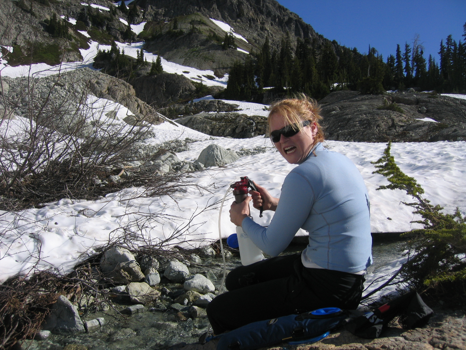
Margie pumping water, with intensity
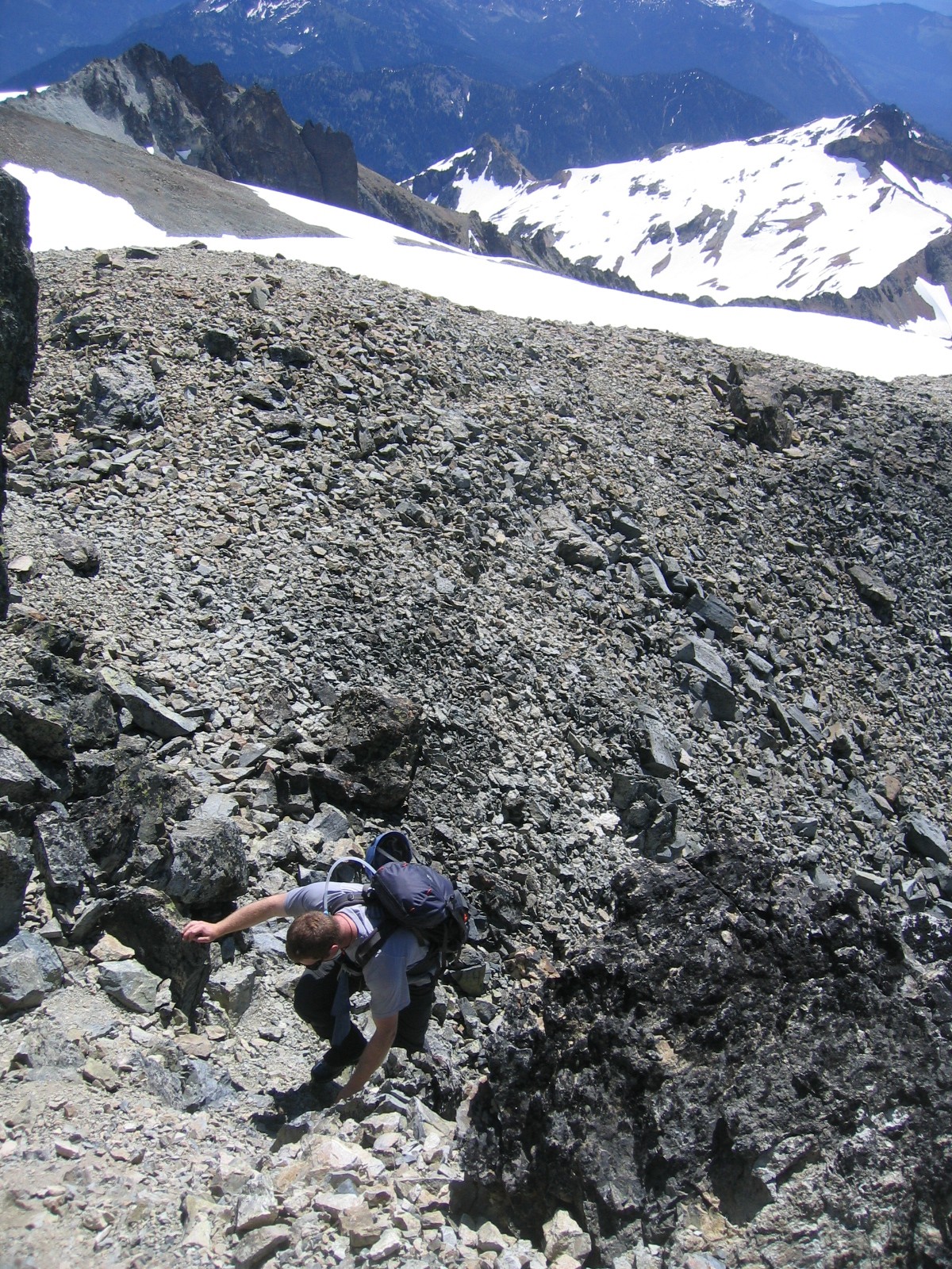
Evan climbing a slope expertly lead by yours truly
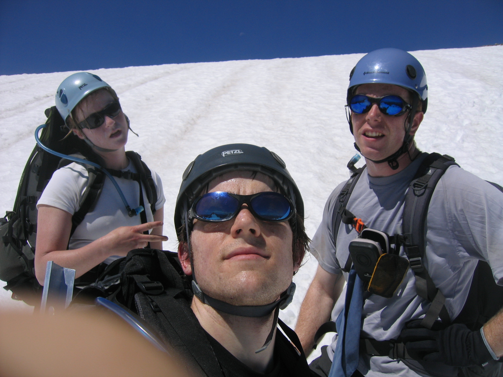
7770 ft. on 7-7-07 group shot
Evan and Margie on the first false summit
The true west summit
Evan scrambling the true summit
Margie and Evan on the True Summit

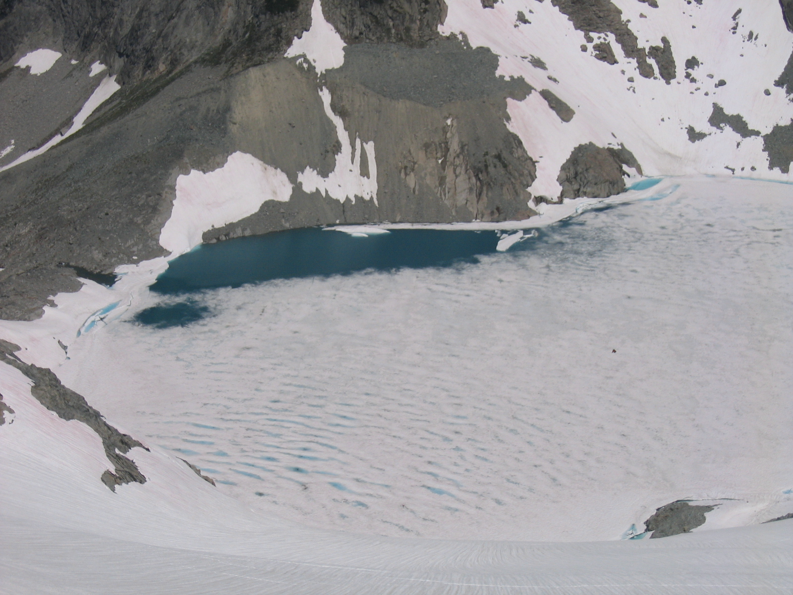
Picture of the glacial runoff, with it's pretty blue color
Ice axes have friends too